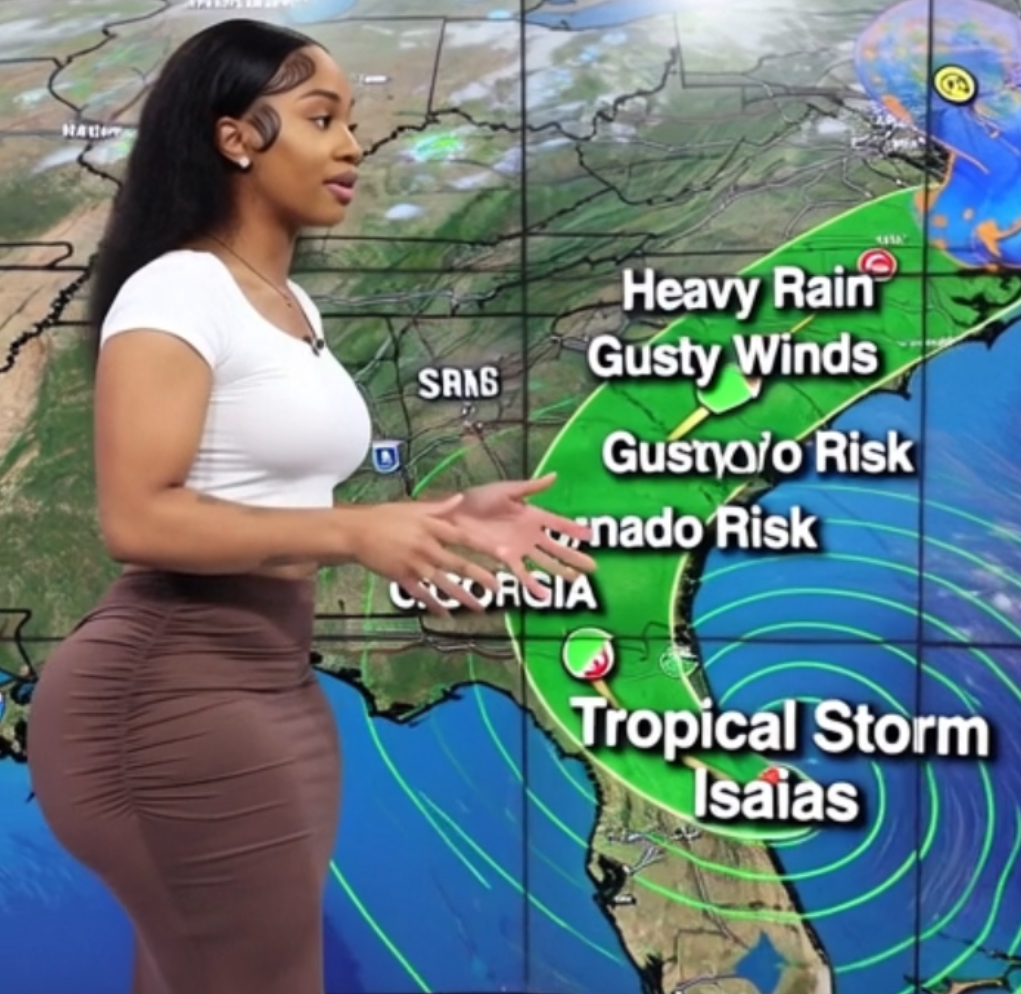

Tropical Storm Isaias is expected to become the Atlantic season’s first hurricane before making landfall on the northern Gulf Coast late Friday or early Saturday, and forecasters say Georgia will feel the effects mainly as heavy rain, gusty winds and a tornado risk.
As of a 1 p.m. CDT intermediate advisory Wednesday, Isaias was centered about 520 miles south-southwest of the mouth of the Mississippi River, with maximum sustained winds of 50 mph and a central pressure of 997 millibars.
The storm was moving east-northeast at 8 mph. The National Hurricane Center said it should strengthen into a hurricane Thursday and approach the coast Friday.
How Will Tropical Storm Isaias Affect Georgia?
Hurricane and storm-surge watches are already in effect from the Mississippi coast through the Florida Panhandle. No tropical watches or warnings were in effect for Georgia Wednesday evening.
On the current forecast track, the center is expected to come ashore near the Alabama–Florida border region and then move north through Alabama. High pressure to the northeast should help keep the core west of Georgia, leaving the state on the eastern side of the circulation — the side that typically sees the heavier rain and the greater chance of spin-up tornadoes.
Rain is the main concern for the state. Showers are forecast to reach south and west Georgia Friday night and spread north, with the heaviest rain Saturday into early Sunday. The hurricane center is calling for 1 to 3 inches across much of the Southeast, with localized totals up to 5 inches.
The National Weather Service office in Peachtree City said there is roughly a 70 percent chance of at least an inch of rain over nearly all of north and central Georgia. Street and poor-drainage flooding is possible, especially in metro Atlanta and along western and northern slopes. A slower or farther-east track would raise the flash-flood and river-flood risk.
Winds are expected to build Friday night. Sustained winds of 10 to 20 mph are forecast Saturday, with gusts of 30 to 40 mph, strongest across north and west Georgia. Scattered tree and power-line damage is possible; widespread hurricane-force winds are not expected inland.
Tornadoes are a secondary threat in outer rainbands, highest late Saturday into early Sunday. Any tornadoes would tend to be brief and embedded in heavier rain.
Coastal southeast Georgia is well east of the expected landfall. Direct storm surge is not the primary issue there, but elevated tides and heavy rain could produce minor coastal and urban flooding around Savannah and the barrier islands, especially near the weekend high tides. Rip currents are expected to increase as swells arrive late in the week.
For north Georgia, impacts should begin Friday night, peak Saturday and ease by Sunday afternoon or evening. Middle and southwest Georgia would see rain and wind somewhat earlier.
Wednesday and Thursday are expected to stay dry and warm ahead of the storm, with highs in the low to mid-80s. Forecasters cautioned that the exact landfall location, the storm’s strength at the coast and its speed inland can still change over the next 48 hours. A shift east would increase wind and tornado risk in Georgia; a shift west would reduce it.
Travelers heading to Saturday’s Georgia–Alabama game in Tuscaloosa could also run into heavy rain and severe weather. University officials said they were monitoring the forecast and had no plans Wednesday to alter the game.